KUCHING: The Sarawak Delta Aspiring UNESCO Global Geopark (SDaUGGp) said that the UNESCO Field Evaluation Mission is scheduled to take place from 23 to 26 June 2025.
This upcoming visit marks the final and most critical step in Sarawak’s journey towards securing recognition as the state’s first UNESCO Global Geopark.
The mission will be carried out by two highly regarded UNESCO evaluators, Jean-Simon Pagès from France and Antonio Garcia Jiménez from Spain.
According to a statement on Tuesday, Both evaluators bring with them extensive experience in geopark assessment and management, and their findings will be instrumental in determining whether the Sarawak Delta Geopark meets the strict international standards required for official UNESCO designation.
During the four-day evaluation, the experts will tour various significant locations across the Sarawak Delta region that collectively demonstrate its rich geological, biological, and cultural diversity.
The statement added, among the key areas they will explore are the Schist Tuang Semeba and Paku Rock Maze in Bau, known for their distinctive geological features, as well as Wind Cave Nature Reserve in Bau, which highlights both geological and biological importance.
The Semenggoh Nature Reserve in Padawan, home to a range of flora and fauna, will also be part of the itinerary.
Cultural heritage will be prominently featured through visits to the Borneo Cultures Museum in Kuching and the Sarawak Cultural Village in Santubong, both of which serve as important centres for preserving and promoting local traditions.
The evaluators will also make their way to Kampung Peros in Krokong, Bau, an example of a kampung geopark, and SMK Paku in Bau, a geopark school actively involved in education and awareness related to geoconservation.
Additional strategic locations throughout the aspiring geopark area will also be assessed.
This evaluation mission holds great significance not only for the potential UNESCO recognition but also for showcasing Sarawak’s commitment to sustainable development, geoconservation, education, and community empowerment.
It is a vital opportunity to present the region’s efforts in preserving its natural and cultural heritage through inclusive and forward-thinking geopark initiatives.
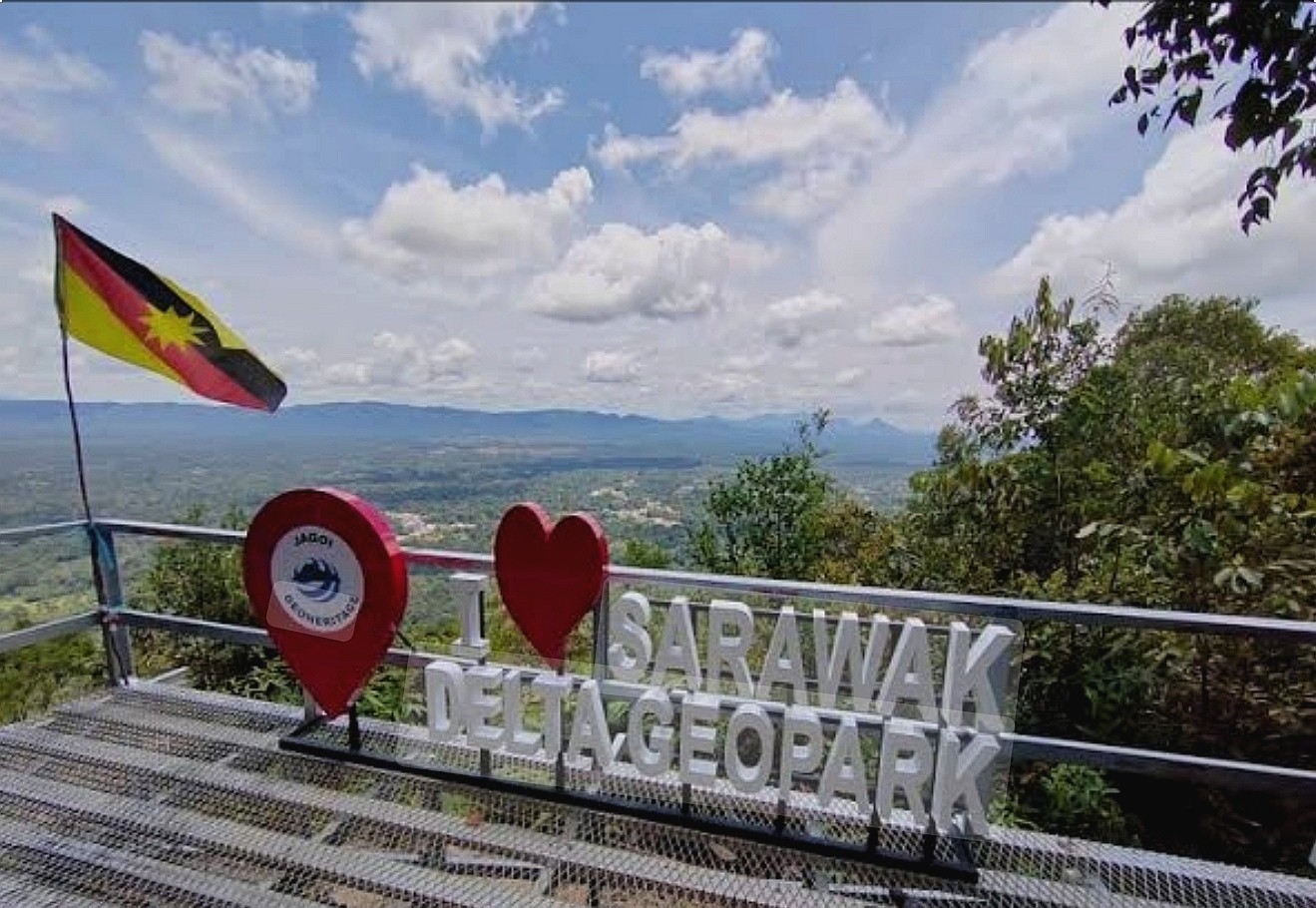
The Sarawak Delta Geopark covers an area of 3,112 square kilometres and is characterised by stunning landscapes, remarkable geological formations, and a rich tapestry of indigenous cultures.
These communities not only rely on the natural resources of the area but also play a crucial role in preserving traditional knowledge and cultural practices that are deeply intertwined with the environment.
The region’s geological history is particularly notable, with rock formations and features that date back around 250 million years, shaped by significant tectonic activity.
These geological processes are part of a broader narrative that connects Southeast Asia with other parts of the world, including Europe and Asia, making many of the sites within the Sarawak Delta of international geological importance.
The Sarawak Delta Geopark team has extended its sincere appreciation to all partners, stakeholders, and local communities who have contributed to the preparation of this evaluation.
Their collaborative efforts reflect the collective hope that Sarawak will soon earn its place on the global geopark map. -UKASnews

